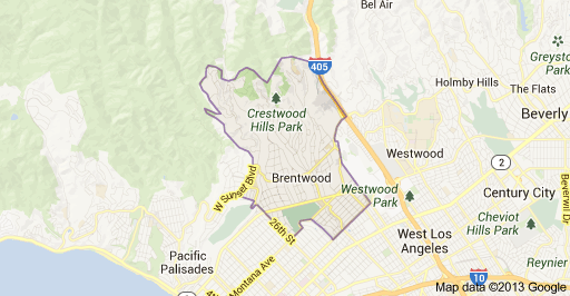
 Brentwood is kept fairly cool by marine breezes off the Pacific Ocean and frequently wakes to the so-called “marine layer,” a cover of clouds brought in at night and burned off by mid-morning. Located at the base of the Santa Monica Mountains, bounded by the San Diego Freeway on the east, the city limits of Los Angeles on the southeast, Wilshire Boulevard on the south, the Santa Monica city limits on the southwest, the border of Topanga State Park on the west, and Mulholland Drive along the ridgeline of the mountains on the north. The area’s ZIP code is 90049.
The topography of the area is generally split into two, broadly divided by Sunset Boulevard. North of Sunset, the area is defined by the ridges and canyons created by the Santa Monica Mountains; south of Sunset (exceptions include Franklin Hill), the area is relatively flat. The southern district (and the neighboring Westgate-Sawtelle areas) features underground springs which bubble up into a small creek along “the Gully” in south Brentwood near the golf course, and in the “Indian Springs” (the springs were formerly the site of a Tongva campsite) portion of the University High School campus.
San Vicente Boulevard, considered the “Main Street” of Brentwood, is divided by a wide median on has become a Historic-Cultural Monument (#148) for the city of Los Angeles.
Q2 2026 for the period ending June 30, 2026 per the Multiple Listing Service:
The average single family home sale was $7,120,390 for a 3,984 square foot home on a 22,743 square foot lot. A total of 46 homes sold in an average of 58 days on market.